
ስዕል:Algeria location map.svg

Size of this PNG preview of this SVG file: 604 × 600 pixels. Other resolutions: 242 × 240 pixels | 483 × 480 pixels | 773 × 768 pixels | 1,031 × 1,024 pixels | 2,062 × 2,048 pixels | 1,287 × 1,278 pixels.
ዋና ፋይል (የSVG ፋይል፡ በተግባር 1,287 × 1,278 ፒክስል፤ መጠን፦ 281 KB)
ማጠቃለያ
| Camera location | | View this and other nearby images on: OpenStreetMap |
|---|
| ማጠቃለያ |
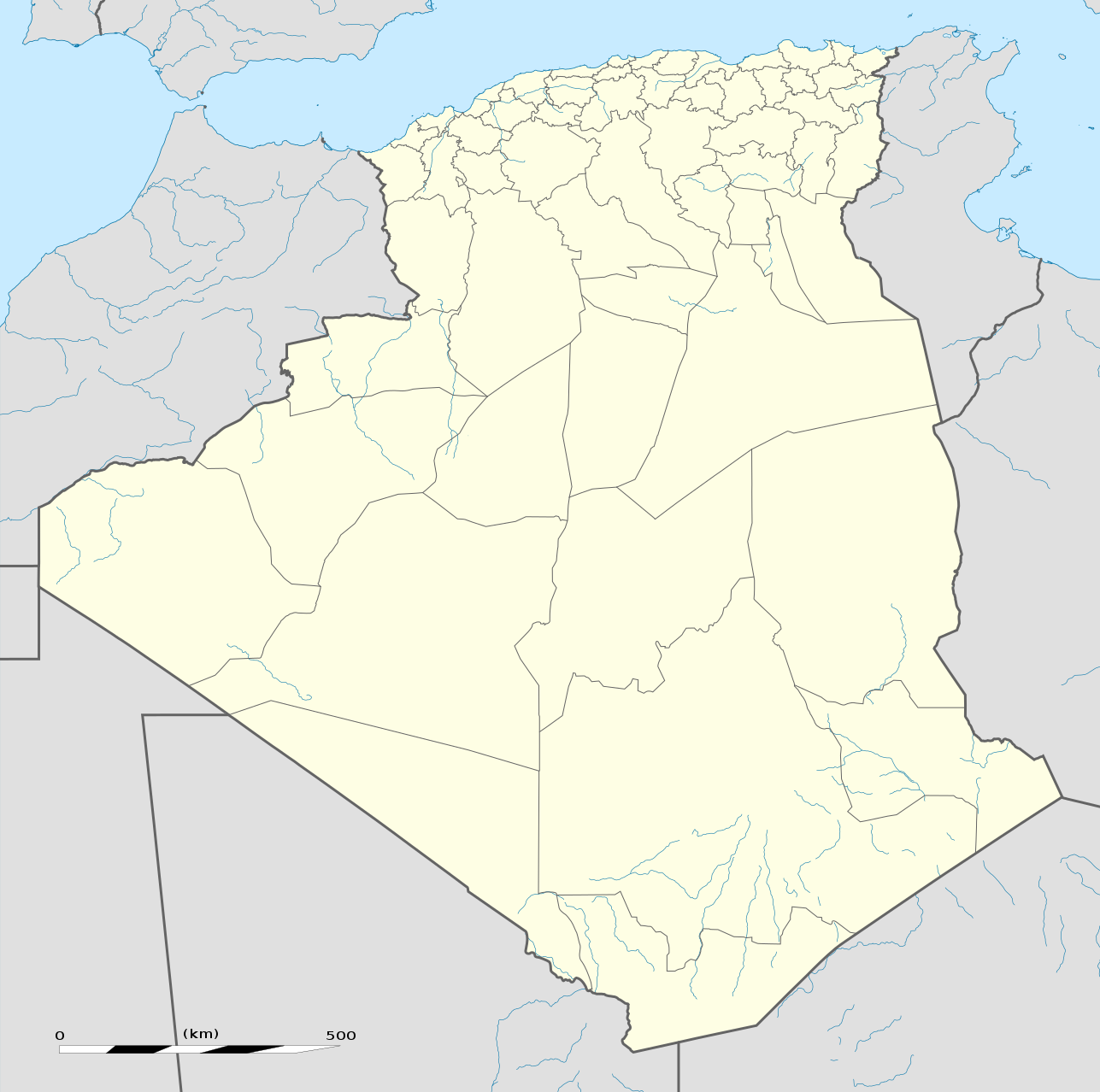
العربية: خريطة إدارية فارغة للجزائر، لأغراض موقع-جيو.
English: Blank administrative map of Algeria, for geo-location purposes.
Français : Carte administrative vierge de l'Algérie, destinée à la géolocalisation. Scale: 1:6,800,000 (precision: 1,700 m)
Geographic limits of the map:
|
||
| ቀን | |||
| ምንጭ |
Own work
|
||
| አቅራቢው | Eric Gaba (Sting - fr:Sting) | ||
| የማብዛት ፈቃድ (Reusing this file) |
|
||
| ሌሎች ዕትሞች |
Derivative works of this file: French Algeria evolution 1830-1962 map-fr.svg
|


የፈቃድ አይነት፦
I, the copyright holder of this work, hereby publish it under the following licenses:
This file is licensed under the Creative Commons Attribution-Share Alike 3.0 Unported license.
- You are free:
- to share – to copy, distribute and transmit the work
- to remix – to adapt the work
- Under the following conditions:
- attribution – You must give appropriate credit, provide a link to the license, and indicate if changes were made. You may do so in any reasonable manner, but not in any way that suggests the licensor endorses you or your use.
- share alike – If you remix, transform, or build upon the material, you must distribute your contributions under the same or compatible license as the original.

|
Permission is granted to copy, distribute and/or modify this document under the terms of the GNU Free Documentation License, Version 1.2 or any later version published by the Free Software Foundation; with no Invariant Sections, no Front-Cover Texts, and no Back-Cover Texts. A copy of the license is included in the section entitled GNU Free Documentation License. |
You may select the license of your choice.
የፋይሉ ታሪክ
የቀድሞው ዕትም ካለ ቀን/ሰዓቱን በመጫን መመልከት ይቻላል።
| ቀን /ሰዓት | ናሙና | ክልሉ (በpixel) | አቅራቢው | ማጠቃለያ | |
|---|---|---|---|---|---|
| ያሁኑኑ | 19:01, 16 ማርች 2020 | | 1,287 × 1,278 (281 KB) | NordNordWest | upd 2019 |
| 12:51, 17 ኖቬምበር 2009 |  | 1,287 × 1,278 (364 KB) | Sting | == {{int:filedesc}} == {{Location|28|19|00|N|1|39|00|E|scale:8000000}} <br/> {{Information |Description={{en|Blank administrative map of Algeria, for geo-location purposes.}} {{fr|Carte administrative vierge de l'Algérie, |
መያያዣዎች
የሚከተለው ገጽ ወደዚሁ ፋይል ተያይዟል፦
ሌሎች ውኪዎች
የሚከተሉት ሌሎች ውኪዎች ይህን ፋይል ይጠቀማሉ፦
- Usage on ab.wikipedia.org
- Usage on af.wikipedia.org
- Usage on als.wikipedia.org
- Usage on an.wikipedia.org
- Usage on ar.wikipedia.org
- أولاد تبان
- العلمة (ولاية سطيف)
- كأس الأمم الإفريقية 1990
- صالح باي (ولاية سطيف)
- قالب:خريطة مواقع الجزائر
- عين آزال
- بوقاعة
- قنزات
- مطار الشلف - أبو بكر بلقايد
- الحامة (ولاية سطيف)
- تالة ايفاسن
- بابور (سطيف)
- زلزال الشلف 1980
- تيزي نبشار
- قالب:خارطة جبال الجزائر
- قالب:خريطة مدن الجزائر
- ماوكلان
- بوطالب
- سيدي حمادوش
- قالب:ص.م/موقع جغرافي
- قالب:ص.م/موقع جغرافي/شرح
- بطولة إفريقيا تحت 20 سنة لكرة القدم 2013
- حمام قرقور
- مستخدم:عبد المؤمن/ملعب
- عين السبت
- بوعنداس
- بني فودة
- بني حسين (ولاية سطيف)
- ذراع قبيلة
- الأوريسية
- قلال
- معاوية (ولاية سطيف)
- قجال
View more global usage of this file.