
ስዕል:Benin location map.svg

Size of this PNG preview of this SVG file: 318 × 599 pixels. Other resolutions: 127 × 240 pixels | 255 × 480 pixels | 408 × 768 pixels | 544 × 1,024 pixels | 1,087 × 2,048 pixels | 828 × 1,559 pixels.
ዋና ፋይል (የSVG ፋይል፡ በተግባር 828 × 1,559 ፒክስል፤ መጠን፦ 338 KB)
ማጠቃለያ
| ማጠቃለያ |
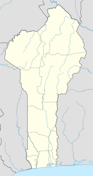
Deutsch: Positionskarte von Benin
Quadratische Plattkarte. Geographische Begrenzung der Karte:
English: Location map of Benin
Equirectangular projection. Geographic limits of the map:
|
| ቀን | 2 ጃንዩዌሪ 2009 (upload date) |
| ምንጭ |
own work, using
|
| አቅራቢው | NordNordWest |

|
This map has been made or improved in the German Kartenwerkstatt (Map Lab). You can propose maps to improve as well.
|
የፈቃድ አይነት፦
I, the copyright holder of this work, hereby publish it under the following licenses:

|
Permission is granted to copy, distribute and/or modify this document under the terms of the GNU Free Documentation License, Version 1.2 or any later version published by the Free Software Foundation; with no Invariant Sections, no Front-Cover Texts, and no Back-Cover Texts. A copy of the license is included in the section entitled GNU Free Documentation License. |
This file is licensed under the Creative Commons Attribution-Share Alike 3.0 Unported license.
- You are free:
- to share – to copy, distribute and transmit the work
- to remix – to adapt the work
- Under the following conditions:
- attribution – You must give appropriate credit, provide a link to the license, and indicate if changes were made. You may do so in any reasonable manner, but not in any way that suggests the licensor endorses you or your use.
- share alike – If you remix, transform, or build upon the material, you must distribute your contributions under the same or compatible license as the original.
You may select the license of your choice.
የፋይሉ ታሪክ
የቀድሞው ዕትም ካለ ቀን/ሰዓቱን በመጫን መመልከት ይቻላል።
| ቀን /ሰዓት | ናሙና | ክልሉ (በpixel) | አቅራቢው | ማጠቃለያ | |
|---|---|---|---|---|---|
| ያሁኑኑ | 20:28, 2 ጃንዩዌሪ 2009 | | 828 × 1,559 (338 KB) | NordNordWest | |
| 20:17, 2 ጃንዩዌሪ 2009 |  | 828 × 1,559 (310 KB) | NordNordWest | {{Information |Description= {{de|Positionskarte von Benin}} Quadratische Plattkarte. Geographische Begrenzung der Karte: * N: 12.6° N * S: 6.0° N * W: 0.6° O * O: 4.1° O {{en|Location map of Benin}} Equirectangular projecti |
መያያዣዎች
የሚከተለው ገጽ ወደዚሁ ፋይል ተያይዟል፦
ሌሎች ውኪዎች
የሚከተሉት ሌሎች ውኪዎች ይህን ፋይል ይጠቀማሉ፦
- Usage on af.wikipedia.org
- Usage on an.wikipedia.org
- Usage on ar.wikipedia.org
- Usage on ast.wikipedia.org
- Usage on azb.wikipedia.org
- کوتونو
- چائورو، بنین
- ابومی-کالاوی
- کوپارقو
- آی-آیس
- آپلاهویه، بنین
- باسیلا، بنین
- ادجا-اوره
- کاوه، بنین
- دوقبو-توتا، بنین
- سقبانا، بنین
- پاراکو، بنین
- بوهیکون، بنین
- بانیکورا، بنین
- ساکته، بنین
- پوبه، بنین
- جوقو، بنین
- آلادا، بنین
- دالی، بنین
- اویده، بنین
- بمبرکه، بنین
- نیکی، بنین
- ناتیتینقو، بنین
- مالانویله، بنین
- قراند پوپو، بنین
- بانته
- ساوالو، بنین
- لوکوسا، بنین
- اقبانقنیزون
- ساوه، بنین
- آتیمه، بنین
- کتو، بنین
- داسا-زومه، بنین
- کومه، بنین
View more global usage of this file.