
ስዕል:China Hubei location map.svg

ዋና ፋይል (የSVG ፋይል፡ በተግባር 1,162 × 773 ፒክስል፤ መጠን፦ 266 KB)
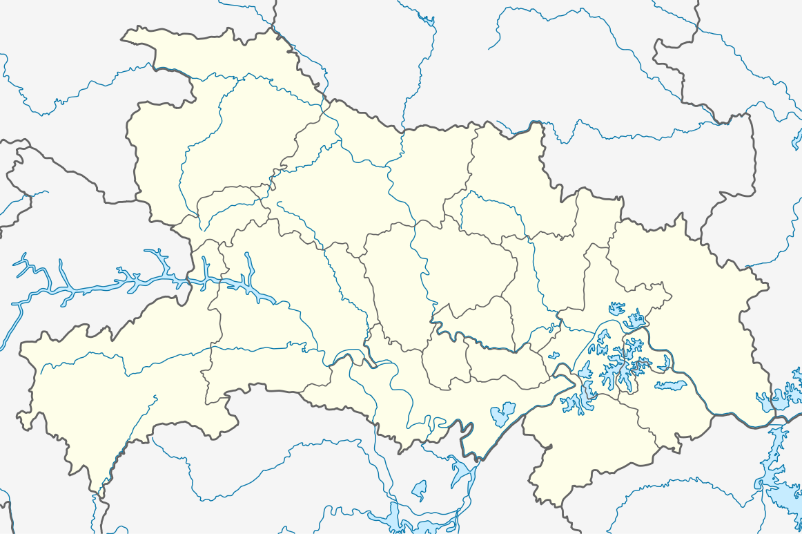
ማጠቃለያ
| ማጠቃለያ |
Quadratische Plattkarte, N-S-Streckung 116 %. Geographische Begrenzung der Karte:
Equirectangular projection, N/S stretching 116 %. Geographic limits of the map:
|
|
| ቀን | ||
| ምንጭ |
Own work, using
|
|
| አቅራቢው | NordNordWest | |
| የማብዛት ፈቃድ (Reusing this file) |
This file is licensed under the Creative Commons Attribution-Share Alike 3.0 Germany license.
 This file is licensed under the Creative Commons Attribution-Share Alike 3.0 Unported license.
|


|
This map has been made or improved in the German Kartenwerkstatt (Map Lab). You can propose maps to improve as well.
|
የፋይሉ ታሪክ
የቀድሞው ዕትም ካለ ቀን/ሰዓቱን በመጫን መመልከት ይቻላል።
| ቀን /ሰዓት | ናሙና | ክልሉ (በpixel) | አቅራቢው | ማጠቃለያ | |
|---|---|---|---|---|---|
| ያሁኑኑ | 12:02, 17 ኦገስት 2011 | | 1,162 × 773 (266 KB) | NordNordWest | =={{int:filedesc}}== {{Information |Description= {{de|Positionskarte von Hubei, Volksrepublik China}} Quadratische Plattkarte, N-S-Streckung 116 %. Geographische Begrenzung der Karte: * N: 33.5° N * S: 28.8° N * |
መያያዣዎች
የሚከተሉ 2 ገጾች ወደዚሁ ፋይል ተያይዘዋል፦
ሌሎች ውኪዎች
የሚከተሉት ሌሎች ውኪዎች ይህን ፋይል ይጠቀማሉ፦
- Usage on ar.wikipedia.org
- Usage on ba.wikipedia.org
- Usage on bg.wikipedia.org
- Usage on bh.wikipedia.org
- Usage on bn.wikipedia.org
- Usage on ceb.wikipedia.org
- Usage on de.wikipedia.org
- Drei-Schluchten-Talsperre
- Wudang Shan
- Minsheng Bank Building
- Wuhan-Sports-Center-Stadion
- Dalongtan-Talsperre
- Wikipedia:Kartenwerkstatt/Positionskarten/Asien
- Danjiangkou-Talsperre
- Dabie Shan
- Fernsehturm Guishan
- Daba Shan
- Jiangpinghe-Talsperre
- Siduhe-Brücke
- Vorlage:Positionskarte China Hubei
- Wu Shan
- Wuhan Greenland Center
- Wuhan Center
- Flughafen Wuhan
- Feinkost-Nassmarkt in Wuhan
- Wasserpark Maya Beach Wuhan
- Usage on en.wikipedia.org
View more global usage of this file.