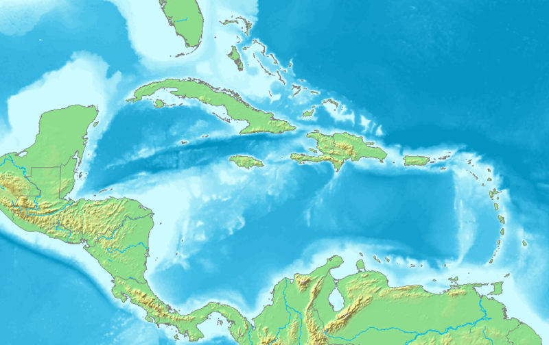
ስዕል:La2-demis-caribbean.png

Size of this preview: 800 × 504 pixels. Other resolutions: 320 × 201 pixels | 640 × 403 pixels | 891 × 561 pixels.
ዋና ፋይል (891 × 561 ፒክስል፤ መጠን፦ 149 KB፤ የMIME ዓይነት፦ image/png)
የፋይሉ ታሪክ
የቀድሞው ዕትም ካለ ቀን/ሰዓቱን በመጫን መመልከት ይቻላል።
| ቀን /ሰዓት | ናሙና | ክልሉ (በpixel) | አቅራቢው | ማጠቃለያ | |
|---|---|---|---|---|---|
| ያሁኑኑ | 05:10, 23 ኖቬምበር 2018 |  | 891 × 561 (149 KB) | Opencooper | rm watermark |
| 13:20, 2 ሴፕቴምበር 2005 |  | 891 × 561 (170 KB) | LA2 | Map of the Carribean and Central America. Bounding box West -93°, South 7°, East -58°, North 28°. {{demis-pd}} category:maps of America |
መያያዣዎች
የሚከተለው ገጽ ወደዚሁ ፋይል ተያይዟል፦
ሌሎች ውኪዎች
የሚከተሉት ሌሎች ውኪዎች ይህን ፋይል ይጠቀማሉ፦
- Usage on ar.wikipedia.org
- كريستوفر كولومبوس
- تصنيف:أمريكا الشمالية
- كوبا
- بليز
- أمريكا الشمالية
- سورينام
- غيانا
- جامايكا
- غرينادا
- تصنيف:جامايكا
- مونتسرات
- سانت فينسنت والغرينادين
- ترينيداد وتوباغو
- أروبا
- مارتينيك
- تصنيف:ترينيداد وتوباغو
- دولار بربادوسي
- باربادوس
- دولار بهامي
- ناساو
- نشيد جزر البهاما الوطني
- اللغة الهولندية
- .an
- .aw
- البحر الكاريبي
- الكاريبي
- جزر الأنتيل
- جزر الأنتيل الكبرى
- جزر الأنتيل الصغرى
- هسبنيولا
- بورتوريكو
- ترينيداد
- أنتيغوا وباربودا
- .vi
- جزر الأنتيل الهولندية
- جزر العذراء
- جمهورية الدومينيكان
- هايتي
- غوادلوب
- جزر العذراء البريطانية
- جزر العذراء الأمريكية
- دومينيكا
- تصنيف:جمهورية الدومينيكان
- تصنيف:الكاريبي
- سانت لوسيا
- علم أروبا
- سانت كيتس ونيفيس
- بيزو كوبي
- إيان فلمنغ
- أراواك
View more global usage of this file.
