
ስዕል:São Tomé and Príncipe location map.svg

Size of this PNG preview of this SVG file: 428 × 599 pixels. Other resolutions: 171 × 240 pixels | 343 × 480 pixels | 549 × 768 pixels | 732 × 1,024 pixels | 1,464 × 2,048 pixels | 496 × 694 pixels.
ዋና ፋይል (የSVG ፋይል፡ በተግባር 496 × 694 ፒክስል፤ መጠን፦ 10 KB)
ማጠቃለያ
| ማጠቃለያ |
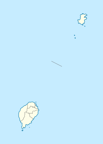
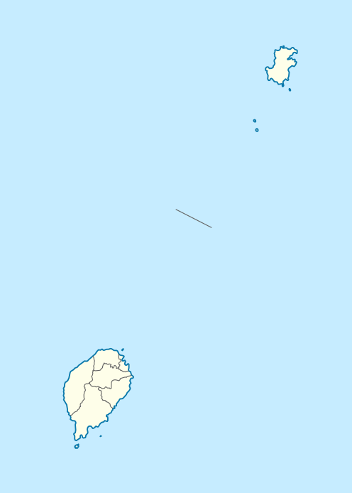
Deutsch: Positionskarte von São Tomé and Príncipe
Quadratische Plattkarte. Geographische Begrenzung der Karte:
English: Location map of São Tomé and Príncipe
Equirectangular projection. Geographic limits of the map:
|
| ቀን | |
| ምንጭ |
Own work, using
|
| አቅራቢው | NordNordWest |
| የማብዛት ፈቃድ (Reusing this file) |
I, the copyright holder of this work, hereby publish it under the following license: This file is licensed under the Creative Commons Attribution-Share Alike 3.0 Unported license.
|

|
This map has been made or improved in the German Kartenwerkstatt (Map Lab). You can propose maps to improve as well.
|
የፋይሉ ታሪክ
የቀድሞው ዕትም ካለ ቀን/ሰዓቱን በመጫን መመልከት ይቻላል።
| ቀን /ሰዓት | ናሙና | ክልሉ (በpixel) | አቅራቢው | ማጠቃለያ | |
|---|---|---|---|---|---|
| ያሁኑኑ | 19:01, 27 ኖቬምበር 2020 | | 496 × 694 (10 KB) | NordNordWest | more exact |
| 15:25, 17 ጁን 2014 |  | 496 × 694 (9 KB) | NordNordWest | corr | |
| 19:40, 5 ኦክቶበር 2009 |  | 496 × 694 (13 KB) | NordNordWest | {{int:filedesc}} {{Information |Description= {{de|Positionskarte von São Tomé and Príncipe}} Quadratische Plattkarte. Geographische Begrenzung der Karte: * N: 1.9° N * S: 0.2° S * W: 6.2° E * O: 7.7° E {{en|Location |
መያያዣዎች
የሚከተለው ገጽ ወደዚሁ ፋይል ተያይዟል፦
ሌሎች ውኪዎች
የሚከተሉት ሌሎች ውኪዎች ይህን ፋይል ይጠቀማሉ፦
- Usage on af.wikipedia.org
- Usage on an.wikipedia.org
- Usage on ar.wikipedia.org
- Usage on ast.wikipedia.org
- Usage on ba.wikipedia.org
- Usage on be-tarask.wikipedia.org
- Usage on be.wikipedia.org
- Usage on bg.wikipedia.org
- Usage on bn.wikipedia.org
- Usage on bs.wikipedia.org
- Usage on ca.wikipedia.org
- Usage on ceb.wikipedia.org
- Plantilya:Location map Sao Tome and Principe
- The Brothers
- San Antonio
- Rio Caue
- Salazar
- Binda
- Ponta de Santo António
- Ponta de Santo Antonio
- Santo António
- Praia das Conchas
- Cambuta
- Ponta Baleia
- Capitango
- São Pedro
- Sao Pedro
- Catraio
- Muongo
- Mutamba
- Monte Sinai
- Micondo
- Observatorio
- Palmira
- Agua Grande
- Calvario
View more global usage of this file.