
ስዕል:Burkina Faso location map.svg

Size of this PNG preview of this SVG file: 800 × 589 pixels. Other resolutions: 320 × 236 pixels | 640 × 471 pixels | 1,024 × 754 pixels | 1,280 × 943 pixels | 2,560 × 1,886 pixels | 900 × 663 pixels.
ዋና ፋይል (የSVG ፋይል፡ በተግባር 900 × 663 ፒክስል፤ መጠን፦ 406 KB)
ማጠቃለያ
| ማጠቃለያ |
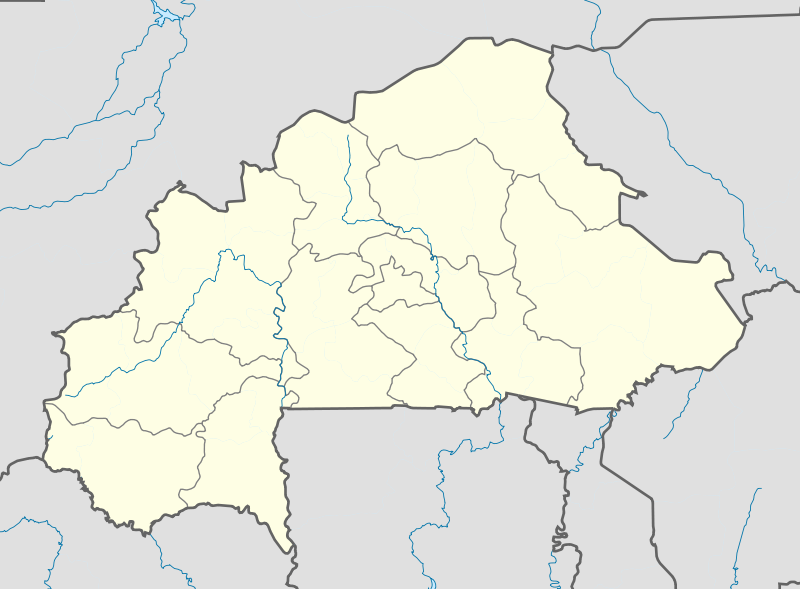
English: Location map of Burkina Faso Equirectangular projection. Strechted by 102%. Geographic limits of the map:
  * N: 15.5° N
  * S: 9° N
  * W: 6° W
  * E: 3° E
Made with Natural Earth. Free vector and raster map data @ naturalearthdata.com. |
| ቀን | |
| ምንጭ | Own work |
| አቅራቢው | Uwe Dedering |
| ሌሎች ዕትሞች |
|

የፈቃድ አይነት፦
I, the copyright holder of this work, hereby publish it under the following licenses:
This file is licensed under the Creative Commons Attribution-Share Alike 3.0 Unported license.
- You are free:
- to share – to copy, distribute and transmit the work
- to remix – to adapt the work
- Under the following conditions:
- attribution – You must give appropriate credit, provide a link to the license, and indicate if changes were made. You may do so in any reasonable manner, but not in any way that suggests the licensor endorses you or your use.
- share alike – If you remix, transform, or build upon the material, you must distribute your contributions under the same or compatible license as the original.

|
Permission is granted to copy, distribute and/or modify this document under the terms of the GNU Free Documentation License, Version 1.2 or any later version published by the Free Software Foundation; with no Invariant Sections, no Front-Cover Texts, and no Back-Cover Texts. A copy of the license is included in the section entitled GNU Free Documentation License. |
You may select the license of your choice.
የፋይሉ ታሪክ
የቀድሞው ዕትም ካለ ቀን/ሰዓቱን በመጫን መመልከት ይቻላል።
| ቀን /ሰዓት | ናሙና | ክልሉ (በpixel) | አቅራቢው | ማጠቃለያ | |
|---|---|---|---|---|---|
| ያሁኑኑ | 11:10, 15 ፌብሩዌሪ 2010 | | 900 × 663 (406 KB) | Uwe Dedering | stretching fixed |
| 19:57, 14 ፌብሩዌሪ 2010 |  | 900 × 663 (406 KB) | Uwe Dedering | {{Information |Description={{en|1=English: English: Location map of Burkina Faso Equirectangular projection. Geographic limits of the map: * N: 15.5° N * S: 9° N * W: 6° W * E: 3° E Made with Natural Earth. Free vector and raster map dat |
መያያዣዎች
የሚከተለው ገጽ ወደዚሁ ፋይል ተያይዟል፦
ሌሎች ውኪዎች
የሚከተሉት ሌሎች ውኪዎች ይህን ፋይል ይጠቀማሉ፦
- Usage on af.wikipedia.org
- Usage on als.wikipedia.org
- Usage on an.wikipedia.org
- Usage on ar.wikipedia.org
- Usage on ast.wikipedia.org
- Usage on azb.wikipedia.org
- تودو
- سیو
- بوبو دیولاسو
- فارا
- سوندره
- تانداقا
- ریسیام
- تانقونا
- زانا موقو
- لوسا
- کاقامزینکه
- کوکولوقو
- تبرا (بورزانقا)
- نیاکونقو
- تونتنقا
- کومبانقو
- اوئی
- لیلبوره
- بیلبالوقو
- تیا (سیقله)
- کوری (ساپونه)
- سیمیدین
- نابزینیقویما
- زانو (تیکاره)
- ویدی
- دوسی
- سوریالا
- سارکونقا
- زورا
- سوکوندوقو
- کیلو (تیکاره)
- بن (تانسیلا)
- سورقو-یارقو
- بوندا
- کومبوس-یونقو
- تیو (تیو)
- قودو، نانورو
- ناپالقوئه (تیکاره)
- کولوئوقو
View more global usage of this file.