
ስዕል:Central African Republic location map.svg

ዋና ፋይል (የSVG ፋይል፡ በተግባር 1,606 × 1,109 ፒክስል፤ መጠን፦ 339 KB)
ማጠቃለያ
| ማጠቃለያ |
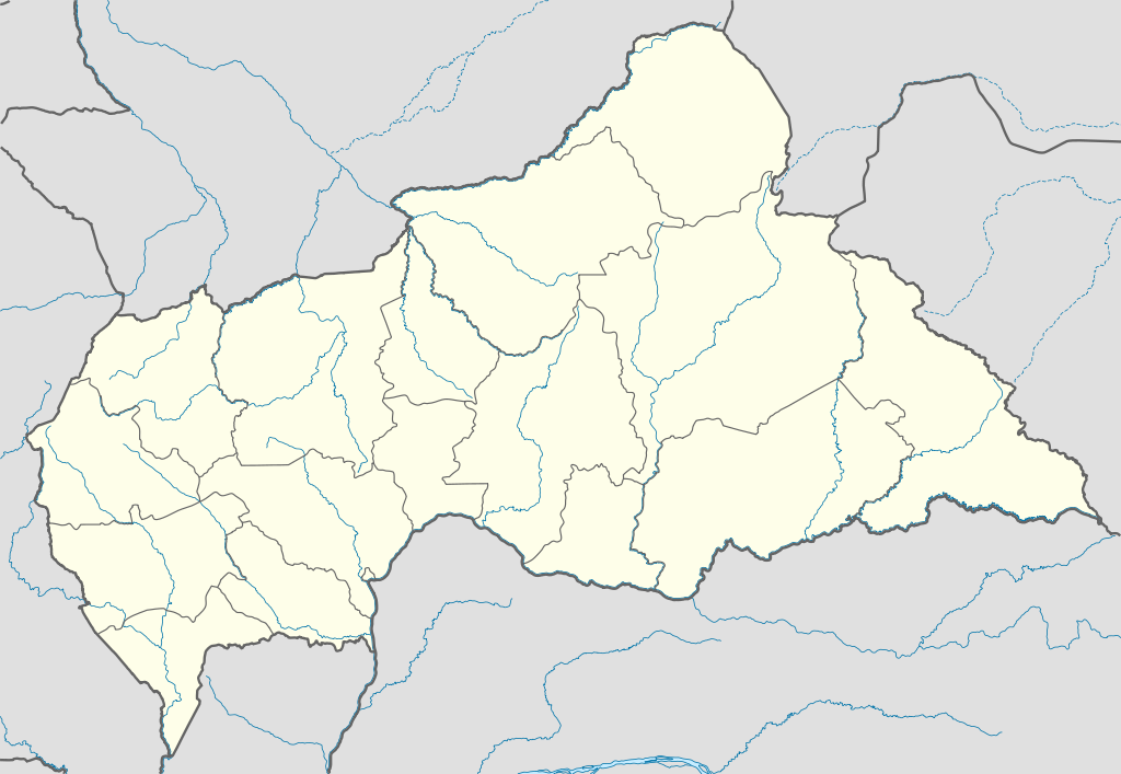
Deutsch: Positionskarte der Zentralafrikanischen Republik
Quadratische Plattkarte, N-S-Streckung 101 %. Geographische Begrenzung der Karte:
English: Location map of the Central African Republic
Equirectangular projection, N/S stretching 101 %. Geographic limits of the map:
|
|
| ቀን | ||
| ምንጭ |
Own work, using
|
|
| አቅራቢው | NordNordWest | |
| የማብዛት ፈቃድ (Reusing this file) |
This file is licensed under the Creative Commons Attribution-Share Alike 3.0 Germany license.
 This file is licensed under the Creative Commons Attribution-Share Alike 3.0 Germany license.
|
|
| ሌሎች ዕትሞች |
Derivative works of this file:
|


.svg)
.svg)
.svg)
.svg)
.svg)
.svg)
.svg)
.svg)
.svg)
.svg)
.svg)
.svg)
.svg)
.svg)
.svg)
.svg)

|
This map has been made or improved in the German Kartenwerkstatt (Map Lab). You can propose maps to improve as well.
|
የፋይሉ ታሪክ
የቀድሞው ዕትም ካለ ቀን/ሰዓቱን በመጫን መመልከት ይቻላል።
| ቀን /ሰዓት | ናሙና | ክልሉ (በpixel) | አቅራቢው | ማጠቃለያ | |
|---|---|---|---|---|---|
| ያሁኑኑ | 17:59, 10 ጁላይ 2011 | | 1,606 × 1,109 (339 KB) | NordNordWest | upd |
| 20:47, 5 ዲሴምበር 2009 |  | 1,606 × 1,110 (556 KB) | NordNordWest | =={{int:filedesc}}== {{Information |Description= {{de|Positionskarte der Zentralafrikanischen Republik}} Quadratische Plattkarte, N-S-Streckung 101 %. Geographische Begrenzung der Karte: * N: 11.3° N * S: 2.0° N * W: |
መያያዣዎች
የሚከተለው ገጽ ወደዚሁ ፋይል ተያይዟል፦
ሌሎች ውኪዎች
የሚከተሉት ሌሎች ውኪዎች ይህን ፋይል ይጠቀማሉ፦
- Usage on af.wikipedia.org
- Usage on an.wikipedia.org
- Usage on ar.wikipedia.org
- Usage on ast.wikipedia.org
- Usage on azb.wikipedia.org
- Usage on az.wikipedia.org
- Usage on be.wikipedia.org
- Usage on bg.wikipedia.org
- Usage on bn.wikipedia.org
- Usage on bs.wikipedia.org
- Usage on ceb.wikipedia.org
View more global usage of this file.