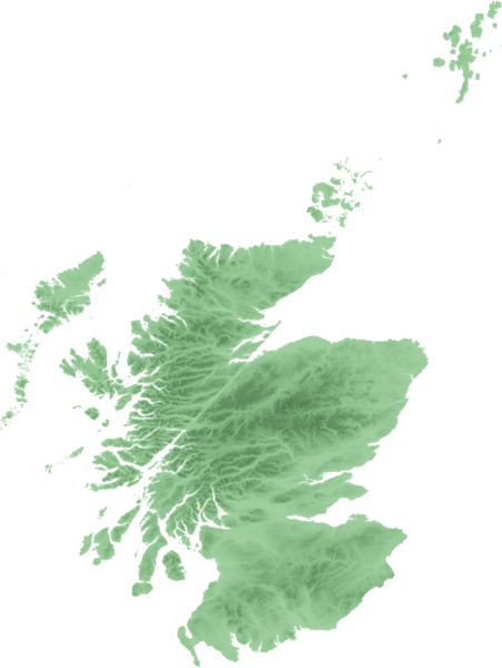
ስዕል:Scottish infobox template map.png
Appearance

Size of this preview: 451 × 600 pixels. Other resolutions: 180 × 240 pixels | 361 × 480 pixels | 577 × 768 pixels | 1,154 × 1,535 pixels.
ዋና ፋይል (1,154 × 1,535 ፒክስል፤ መጠን፦ 661 KB፤ የMIME ዓይነት፦ image/png)
የፋይሉ ታሪክ
የቀድሞው ዕትም ካለ ቀን/ሰዓቱን በመጫን መመልከት ይቻላል።
| ቀን /ሰዓት | ናሙና | ክልሉ (በpixel) | አቅራቢው | ማጠቃለያ | |
|---|---|---|---|---|---|
| ያሁኑኑ | 22:48, 21 ሴፕቴምበር 2007 |  | 1,154 × 1,535 (661 KB) | SFC9394 | {{Information |Description=Topo map of Scotland for use in Scottish infoboxes - equidistant cylindrical projection as naturaly outputted from SRTM data, stretched 150% vertically as deduced by w:User:Anameofmyveryown for easier viewing. |Source=SRTM d |
መያያዣዎች
የሚከተሉ 2 ገጾች ወደዚሁ ፋይል ተያይዘዋል፦
ሌሎች ውኪዎች
የሚከተሉት ሌሎች ውኪዎች ይህን ፋይል ይጠቀማሉ፦
- Usage on as.wikipedia.org
- Usage on awa.wikipedia.org
- Usage on azb.wikipedia.org
- Usage on bn.wikipedia.org
- Usage on da.wikipedia.org
- Usage on diq.wikipedia.org
- Usage on en.wikipedia.org
- User talk:SFC9394
- Wikipedia talk:WikiProject Scotland/Archive 6
- Template:Location mark+
- Template:Location mark+/doc
- Template:Location mark+/testcases
- Template:Location mark
- Template:Location mark/doc
- Template:Location mark~/testcases
- Template:Location mark+/sandbox
- Template:Location mark/sandbox
- Template:Location mark label
- Usage on en.wikiversity.org
- Usage on fa.wikipedia.org
- Usage on fo.wikipedia.org
- Usage on fr.wikipedia.org
- Usage on gv.wikipedia.org
- Usage on hi.wikipedia.org
- Usage on hy.wikipedia.org
View more global usage of this file.

