
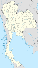
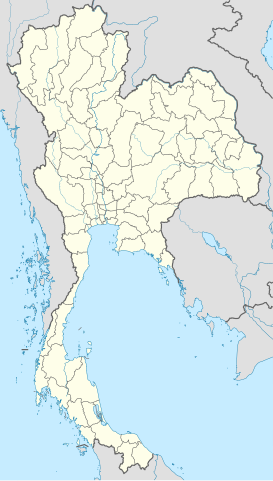
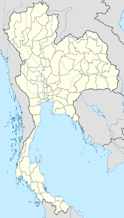
ስዕል:Thailand location map.svg

Size of this PNG preview of this SVG file: 341 × 600 pixels. Other resolutions: 136 × 240 pixels | 273 × 480 pixels | 436 × 768 pixels | 582 × 1,024 pixels | 1,164 × 2,048 pixels | 1,051 × 1,849 pixels.
ዋና ፋይል (የSVG ፋይል፡ በተግባር 1,051 × 1,849 ፒክስል፤ መጠን፦ 662 KB)
ማጠቃለያ
| ማጠቃለያ |
Deutsch: Positionskarte von Thailand
Quadratische Plattkarte, N-S-Streckung 103 %. Geographische Begrenzung der Karte:
English: Location map of Thailand
Equirectangular projection, N/S stretching 103 %. Geographic limits of the map:
|
| ቀን | |
| ምንጭ |
Own work, using
|
| አቅራቢው | NordNordWest |

|
This map has been made or improved in the German Kartenwerkstatt (Map Lab). You can propose maps to improve as well.
|
የፈቃድ አይነት፦
I, the copyright holder of this work, hereby publish it under the following licenses:

|
Permission is granted to copy, distribute and/or modify this document under the terms of the GNU Free Documentation License, Version 1.2 or any later version published by the Free Software Foundation; with no Invariant Sections, no Front-Cover Texts, and no Back-Cover Texts. A copy of the license is included in the section entitled GNU Free Documentation License. |
This file is licensed under the Creative Commons Attribution 3.0 Unported license.
- You are free:
- to share – to copy, distribute and transmit the work
- to remix – to adapt the work
- Under the following conditions:
- attribution – You must give appropriate credit, provide a link to the license, and indicate if changes were made. You may do so in any reasonable manner, but not in any way that suggests the licensor endorses you or your use.
You may select the license of your choice.
የፋይሉ ታሪክ
የቀድሞው ዕትም ካለ ቀን/ሰዓቱን በመጫን መመልከት ይቻላል።
| ቀን /ሰዓት | ናሙና | ክልሉ (በpixel) | አቅራቢው | ማጠቃለያ | |
|---|---|---|---|---|---|
| ያሁኑኑ | 13:05, 22 ማርች 2011 | | 1,051 × 1,849 (662 KB) | NordNordWest | update, new province |
| 18:00, 14 ኤፕሪል 2009 |  | 1,052 × 1,849 (1.04 MB) | NordNordWest | corr | |
| 19:57, 29 ማርች 2009 |  | 1,053 × 1,852 (924 KB) | NordNordWest | corr | |
| 18:03, 29 ማርች 2009 |  | 1,053 × 1,852 (924 KB) | NordNordWest | corr | |
| 19:08, 28 ማርች 2009 |  | 1,053 × 1,852 (925 KB) | NordNordWest | {{Information |Description= {{de|Positionskarte von Thailand}} Quadratische Plattkarte, N-S-Streckung 103 %. Geographische Begrenzung der Karte: * N: 20.6° N * S: 5.4° N * W: 97.1° O * O: 106.0° O {{en|Location map of [[:en:Thailand|T |
መያያዣዎች
ወዲህ ፋይል የተያያዘ ገጽ የለም።
ሌሎች ውኪዎች
የሚከተሉት ሌሎች ውኪዎች ይህን ፋይል ይጠቀማሉ፦
- Usage on af.wikipedia.org
- Usage on als.wikipedia.org
- Usage on an.wikipedia.org
- Usage on ar.wikipedia.org
- Usage on ast.wikipedia.org
- Usage on az.wikipedia.org
- Usage on ba.wikipedia.org
- Usage on be-tarask.wikipedia.org
- Usage on be.wikipedia.org
View more global usage of this file.