
ስዕል:Côte d'Ivoire location map.svg

Size of this PNG preview of this SVG file: 512 × 512 pixels. Other resolutions: 240 × 240 pixels | 480 × 480 pixels | 768 × 768 pixels | 1,024 × 1,024 pixels | 2,048 × 2,048 pixels.
ዋና ፋይል (የSVG ፋይል፡ በተግባር 512 × 512 ፒክስል፤ መጠን፦ 97 KB)
ማጠቃለያ
| ማጠቃለያ |
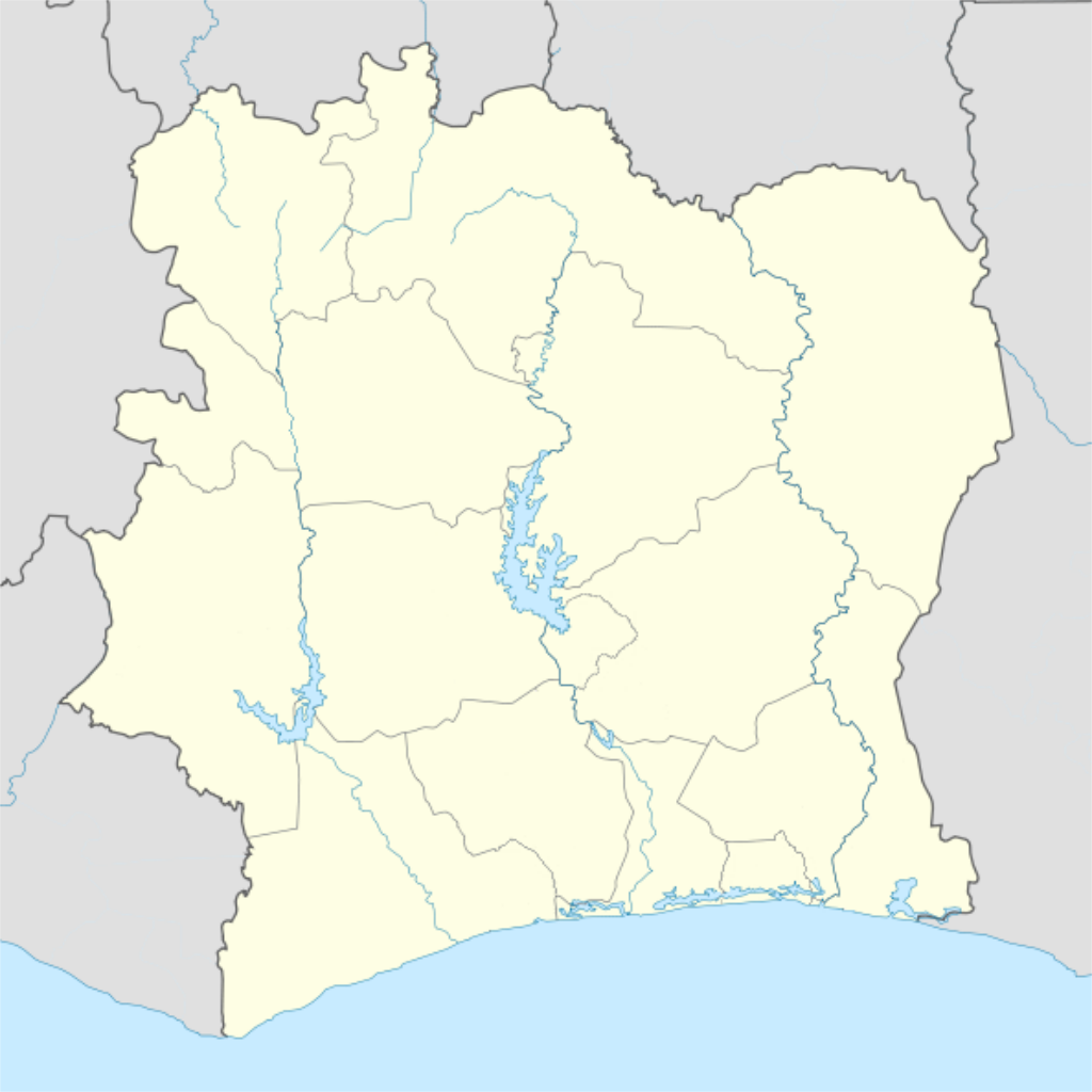
Deutsch: Location map of Côte d'Ivoire Equirectangular projection.
Strechted by 101%. Geographic limits of the map:
|
| ቀን | |
| ምንጭ |
Transferred from de.wikipedia to Commons by Uwe Dedering. |
| አቅራቢው | Uwe Dedering |
| ሌሎች ዕትሞች |
Derivative works of this file: |
የፈቃድ አይነት፦
Uwe Dedering at ጀርመንኛ ውክፔዲያ, the copyright holder of this work, hereby publishes it under the following licenses:

|
Permission is granted to copy, distribute and/or modify this document under the terms of the GNU Free Documentation License, Version 1.2 or any later version published by the Free Software Foundation; with no Invariant Sections, no Front-Cover Texts, and no Back-Cover Texts. A copy of the license is included in the section entitled GNU Free Documentation License. |
This file is licensed under the Creative Commons Attribution-Share Alike 3.0 Unported license.
Attribution: Uwe Dedering at ጀርመንኛ ውክፔዲያ
- You are free:
- to share – to copy, distribute and transmit the work
- to remix – to adapt the work
- Under the following conditions:
- attribution – You must give appropriate credit, provide a link to the license, and indicate if changes were made. You may do so in any reasonable manner, but not in any way that suggests the licensor endorses you or your use.
- share alike – If you remix, transform, or build upon the material, you must distribute your contributions under the same or compatible license as the original.
This file is licensed under the Creative Commons Attribution-Share Alike 3.0 Germany license.
Attribution: Uwe Dedering at ጀርመንኛ ውክፔዲያ
- You are free:
- to share – to copy, distribute and transmit the work
- to remix – to adapt the work
- Under the following conditions:
- attribution – You must give appropriate credit, provide a link to the license, and indicate if changes were made. You may do so in any reasonable manner, but not in any way that suggests the licensor endorses you or your use.
- share alike – If you remix, transform, or build upon the material, you must distribute your contributions under the same or compatible license as the original.

You may select the license of your choice.
| Annotations | This image is annotated: View the annotations at Commons |
የፋይሉ ታሪክ
የቀድሞው ዕትም ካለ ቀን/ሰዓቱን በመጫን መመልከት ይቻላል።
| ቀን /ሰዓት | ናሙና | ክልሉ (በpixel) | አቅራቢው | ማጠቃለያ | |
|---|---|---|---|---|---|
| ያሁኑኑ | 00:14, 4 ዲሴምበር 2015 | | 512 × 512 (97 KB) | Good Olfactory | intra-country boundaries changed to reflect 2011 administrative subdivision changes (boundaries represent districts, the new first-level administrative subdivision) |
| 21:42, 16 ፌብሩዌሪ 2010 |  | 1,400 × 1,414 (423 KB) | Uwe Dedering | ({{Information |Beschreibung = Location map of Côte d'Ivoire Equirectangular projection. Strechted by 101%. Geographic limits of the map: * N: 11° N * S: 4° N * W: 9° W * E: 2° W Made with Natural Earth. Free vector and raster map data @ naturalearth |
መያያዣዎች
የሚከተለው ገጽ ወደዚሁ ፋይል ተያይዟል፦
ሌሎች ውኪዎች
የሚከተሉት ሌሎች ውኪዎች ይህን ፋይል ይጠቀማሉ፦
- Usage on als.wikipedia.org
- Usage on ar.wikipedia.org
- Usage on az.wikipedia.org
- Usage on ba.wikipedia.org
- Usage on be-tarask.wikipedia.org
- Usage on be.wikipedia.org
- Usage on bg.wikipedia.org
- Usage on bn.wikipedia.org
- Usage on bs.wikipedia.org
- Usage on ce.wikipedia.org
- Usage on ckb.wikipedia.org
- Usage on cs.wikipedia.org
- Usage on da.wikipedia.org
- Usage on de.wikipedia.org
- Usage on de.wikivoyage.org
- Usage on eo.wikipedia.org
View more global usage of this file.