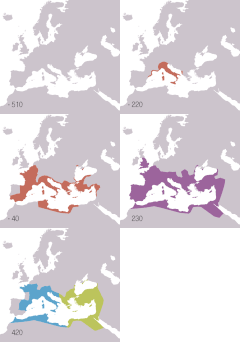
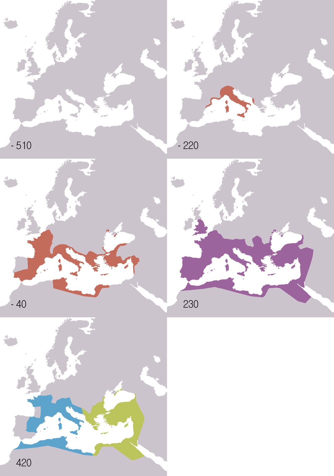
ስዕል:Roman Republic Empire map.gif
Appearance
Roman_Republic_Empire_map.gif (626 × 595 ፒክስል፤ መጠን፦ 101 KB፤ የMIME ዓይነት፦ image/gif፣looped፣21 frames፣37 s)
የፋይሉ ታሪክ
የቀድሞው ዕትም ካለ ቀን/ሰዓቱን በመጫን መመልከት ይቻላል።
| ቀን /ሰዓት | ናሙና | ክልሉ (በpixel) | አቅራቢው | ማጠቃለያ | |
|---|---|---|---|---|---|
| ያሁኑኑ | 19:14, 22 ኖቬምበር 2009 |  | 626 × 595 (101 KB) | Sémhur | Adding minus sign for BC years. |
| 09:56, 19 ሜይ 2007 |  | 626 × 595 (101 KB) | Roke~commonswiki | minor - colours of numbers off in last version | |
| 07:31, 19 ሜይ 2007 |  | 626 × 595 (71 KB) | Roke~commonswiki | fix area north of hadrians wall | |
| 14:29, 2 ጁላይ 2006 |  | 800 × 760 (218 KB) | Roke~commonswiki | Reverted to earlier revision | |
| 12:05, 6 ጁን 2006 |  | 800 × 760 (218 KB) | Roke~commonswiki | speed up rate to 1 second | |
| 10:58, 6 ጁን 2006 |  | 800 × 760 (218 KB) | Roke~commonswiki | map of the Roman Empire based on Image:BlankMap-Europe-v3.png, displayed in the map: *Red = Roman republic 510BC-40BC *Purple = Roman Empire 20AD-360AD *Blue = Western Roman Empire 4 |
መያያዣዎች
የሚከተለው ገጽ ወደዚሁ ፋይል ተያይዟል፦
ሌሎች ውኪዎች
የሚከተሉት ሌሎች ውኪዎች ይህን ፋይል ይጠቀማሉ፦
- Usage on af.wikipedia.org
- Usage on anp.wikipedia.org
- Usage on an.wikipedia.org
- Usage on ar.wikipedia.org
- Usage on arz.wikipedia.org
- Usage on ast.wikipedia.org
- Usage on azb.wikipedia.org
- Usage on az.wikipedia.org
- Usage on ba.wikipedia.org
- Usage on be-tarask.wikipedia.org
- Usage on be.wikipedia.org
- Usage on bg.wikipedia.org
- Usage on bn.wikipedia.org
- Usage on bs.wikipedia.org
- Usage on ca.wikipedia.org
- Usage on cdo.wikipedia.org
- Usage on ckb.wikipedia.org
- Usage on cs.wikipedia.org
- Usage on cv.wikipedia.org
- Usage on cy.wikipedia.org
- Usage on da.wikipedia.org
- Usage on de.wikipedia.org
View more global usage of this file.


